Supporting the below United Nations Sustainable Development Goals:支持以下聯合國可持續發展目標:支持以下联合国可持续发展目标:
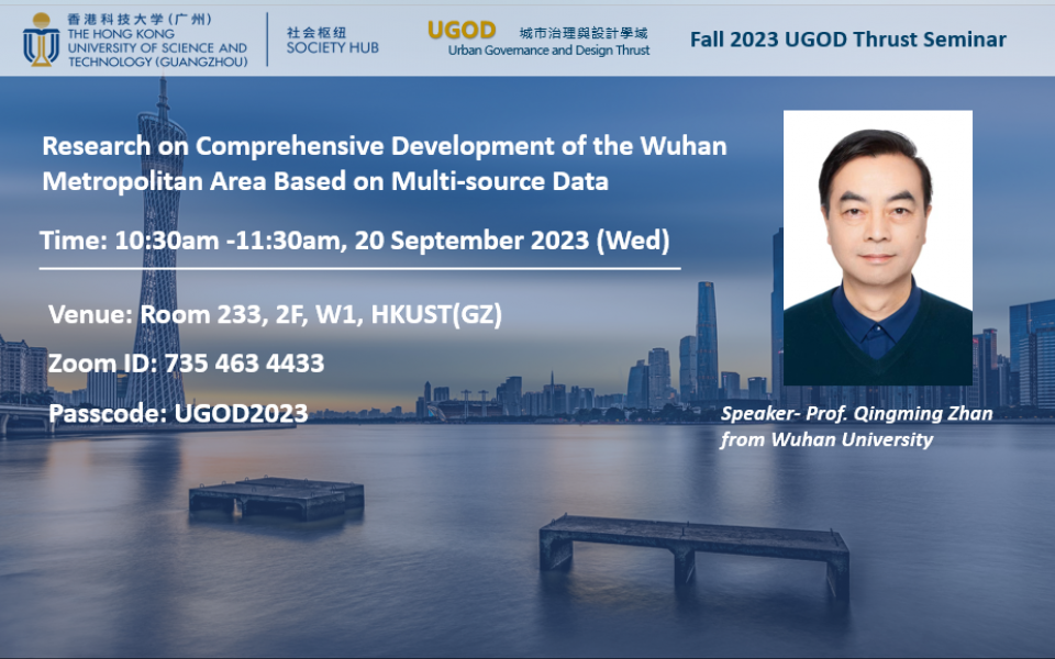
This study uses Wuhan as a case study to construct a comprehensive framework for metropolitan areas. It develops a multi-source heterogeneous data integration management platform, which includes geographical monitoring data, socio-economic statistical data, and emerging big data sources. Based on the platform, the research team investigate the complex distribution patterns and internal differentiations within the Wuhan metropolitan area, examining aspects such as spatial expansion, transportation infrastructure development, population migration patterns, and economic activities. By providing empirical evidence and insightful perspectives, this study equips policymakers with the necessary tools to inform judicious planning decisions and formulate robust strategies for the future development of metropolises.
Professor Qingming Zhan is a distinguished faculty member at the School of Urban Design, Wuhan University, where he also serves as the Director of the Research Center for Digital City. He earned his PhD in Geo-information Science from Wageningen University-ITC, Netherlands, in 2003. His extensive research experience spans GIS, remote sensing, big data, and their applications in urban planning and management. His research interests include smart cities, planning support systems, climate adaptive spatial planning, big data, and urban applications. He has supervised more than 30 PhD students and 150 MSc students. Professor Zhan is the author of 8 books and had published over 330 scientific articles.
