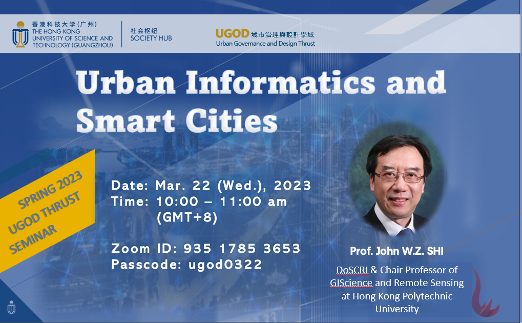
UGOD Thrust Seminar | Urban Informatics and Smart Cities
Supporting the below United Nations Sustainable Development Goals:支持以下聯合國可持續發展目標:支持以下联合国可持续发展目标:
Urban Informatics and Smart Cities
The transdisciplinary field of urban informatics is being regarded as a new scientific and technological foundation for developing smart and sustainable cities. This presentation will firstly introduce urban problems urging the development of urban informatics, and how this field is fusing different disciplines into better urban solutions. The recent research and technological advances in urban informatics will be introduced, followed by the development of the urban informatics community. In particular, the advice on submission to the journal Urban Informatics from the perspective of Editor-in-Chief will be provided. The talk will then provide the prospective for urban informatics, with the emphasis on the key enabling technologies for constructing future cities.
Professor John Shi is currently the Director of PolyU-Shenzhen Technology and Innovation Research Institute (Futian), Director of Otto Poon Charitable Foundation Smart Cities Research Institute of PolyU, Chair Professor in Geographic Information Science and Remote Sensing, and Director of Joint Research Laboratory on Spatial Information of PolyU and Wuhan University. He is Academician of International Eurasian Academy of Sciences and Fellow of Academy of Social Sciences (UK). He earned his doctoral degree from University of Osnabruck in Vechta, Germany in 1994. He is a Fellow of Royal Institution of Chartered Surveyors and Hong Kong Institute of Surveyors, Professor Shi also serves as President of International Society for Urban Informatics and Editor-in-Chief of International Journal Urban Informatics.
His research covers urban informatics for smart cities, geographic information science and remote sensing, specifically, artificial-intelligence-based object recognition and change detection from satellite imagery, intelligent analytics and quality control for spatial data, mobile mapping and 3-D modelling based on LiDAR and imagery, and 3-D GIS models. He has published over 300 research articles in journals indexed by Web of Science and 20 books. He is among the worldly top 2% cited researchers according to the standardized citation indicators published by Elsevier BV and scholar in Stanford University. He has 36 patents grants.
Professor Shi has won State Natural Science Award, China’s highest award for fundamental research, in 2007; Distinguished Scholar Prize by CPGIS, Gold Medal in Geneva Invention Expo, and Smart 50 Awards (US) in 2021; Founder’s Award by International Spatial Accuracy Research Association in 2020; Science and Technology Progress Award in Surveying and Mapping (Grand Award) in 2017; Wang Zhizhuo Award by International Society of Photogrammetry and Remote Sensing in 2012; and ESRI Award for Best Scientific Paper by American Society of Photogrammetry and Remote Sensing in 2006.