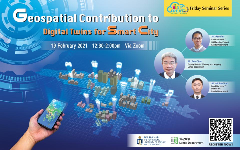
GSCI Friday Seminar Series- Geospatial Contribution to Digital Twins for Smart City
Supporting the below United Nations Sustainable Development Goals:支持以下聯合國可持續發展目標:支持以下联合国可持续发展目标:
Governments around the world have started the journey to establish smart cities for their countries for years. The Government of Hong Kong SAR is no exception in striving to build Hong Kong into a world-class smart city. Geospatial information is fundamental to deliver benefits to the society and create sustainable values for a smart city.
Lands Department, as the land survey, mapping and geospatial agency in Hong Kong, has recognized and understood the changes in the digital era, and has continuously learnt from international counterparts and organizations, such as Ordnance Survey of UK, the Centre for Digital Built Britain and the Singapore Land Authority on the global trend of geospatial information framework development. To keep up with the pace of international development, Lands Department has taken the lead to contribute to the establishment of the geospatial information management framework of the city through the development of Common Spatial Data Infrastructure (CSDI), 3D Digital Map and BIM Data Repository.
In this presentation, Mr. Ben Chan, Deputy Director/Survey and Mapping, Mr. Ben Fan, Land Surveyor/3D Mapping Project and Mr. Michael Lau, Land Surveyor/BIM of the Lands Department will share the initiatives and strategies to support Hong Kong’s geospatial information management framework, the latest development of CSDI and 3D Digital Map. Examples of CSDI, 3D digital map and BIM developments applications in other advanced economies and the insight from the BIM Data Repository Consultancy will also be shared.
Deputy Director/Survey and Mapping
Land Surveyor/ 3D Mapping Project
Land Surveyor/ BIM of the Lands Department
