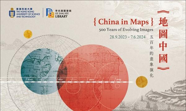
China in Maps: 500 Years of Evolving Images
至
10:00am - 06:00pm
HKUST Library
Supporting the below United Nations Sustainable Development Goals:支持以下聯合國可持續發展目標:支持以下联合国可持续发展目标:
The HKUST Library has amassed a significant collection of Western printed maps of China spanning the 16th to 19th centuries. The exhibition features a curated selection of items from this valuable collection, highlighting how the land and geography of China were portrayed by European and Chinese mapmakers.
Visit the exhibition website for more details.
活動形式
適合對象
本科生
研究生
校友
教職員
科大家庭
主辦單位
圖書館
Media Technology and Publishing Center
聯絡方法